

1
/
of
1
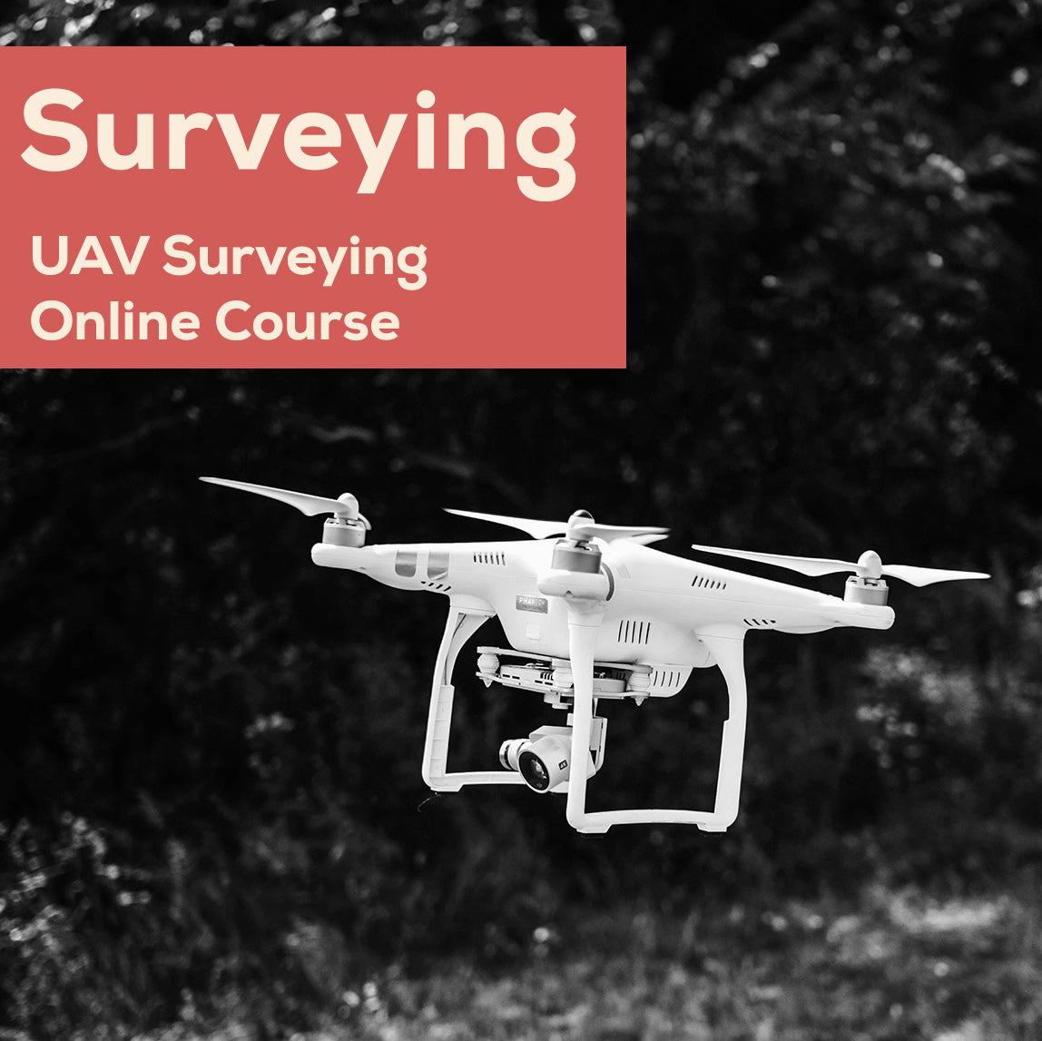
Drone Surveying Course (UAV)
Drone Surveying Course (UAV)
Regular price
$249.50 USD
Regular price
$499.00 USD
Sale price
$249.50 USD
Unit price
/
per
Using your drone as a professional survey tool is a fantastic way to generate revenue for your business. Drone TRUST is proud to give you access to years of industry experience- highly condensed into invaluable, easy to follow modules that will streamline your journey to becoming a proficient and professional UAV surveyor. The video content leads you to doing your own learning with your survey tools, during the course. This course was created for DroneTRUST by DroneMate.
Couldn't load pickup availability
Introduction
This course is proudly offered in association with Drone Mate.
Take your UAV Surveying skills to new heights. Jonathan from Dronemate is your course instructor, with over 9 years of professional drone experience. Having mapped hundreds of surveys across multiple industries, and trained numerous organisations to have successful in-house drone operations, he is now sharing his knowledge in our comprehensive online UAV surveying course.
We condense years of industry expertise in to user-friendly modules that will streamline your journey to becoming a proficient and professional UAV surveyor. The 6 user-friendly modules are packed with numerous data-set examples, clear and concise comparisons, and live demonstrations, giving you the knowledge to gather accurate data on any drone, no matter the make or model.
With lifetime access, and a 'pick up where you left off' format, you can absorb knowledge at your own pace and reinforce your learning with quizzes. Plus, gain entry to our exclusive UAV Surveying community for ongoing support from the DroneMate team.
Course Outline
Introduction to Course and brief overview of each component of a drone survey
- Overview of the course objectives and structure.
- Introduction to what’s involved in a drone survey.
- Walk through of dataset collection.
Module 1: Border
- Purpose of flight border.
- Introduction to border creation in different flight apps.
- Using DJI Pilot 2 to import or manually create a border.
- Accuracy at flight border demonstration.
- Key takeaways for creating a border.
Module 2: Flight Pattern
- Exploration of flight patterns and their role in aerial survey planning.
- What environments require a single grid, double grid with oblique camera or linear/corridor flight pattern.
- Techniques for planning efficient flight paths while not breaking property laws.
- Consideration of higher camera angles when using different flight patterns.
Module 3: Height
- Selecting appropriate flight heights based on survey requirements. The correlation between ground sampling distance and survey accuracy. Demonstration of how height affects resolution.
- Case studies illustrating how height choices can affect site time, dataset size and survey outputs.
- Why maintaining a consistent height above ground level is important. Demonstration on how to use terrain aware feature in different flight apps. How height has an impact on your overlap settings.
Module 4: Overlap
- Examination of overlap settings in aerial surveying and its importance. Adjusting overlap settings to adapt to various terrain to ensure quality outputs.
- Methods for determining optimal overlap percentages.
- Practical applications and benefits of different overlap settings in surveys. How to change overlap settings in various flight apps.
- Introduction to key points in data processing.
Module 5: Speed and Camera Settings
- Exploration of the relationship between drone speed and camera settings. Demonstration of various methods for choosing camera settings and speed of your drone.
- Techniques for optimizing camera settings to reduce motion blur. How to access and correctly use shutter priority mode in DJI Pilot 2 and Map Pilot Pro
- Comparative analysis of image quality at various speeds and camera settings.
Module 6: GCP, RTK, Checkpoints
- What are GCPs, RTK and checkpoints
- How to establish your GCPs
- Methods for capturing GCP locations
- GCP layout
- Methods to receive RTK corrections
- RTK with GCPs
- Accuracy issues when not using GCPs or RTK
Summary and Conclusion
- Overview of important information from each module
- Final review of all components of a drone survey