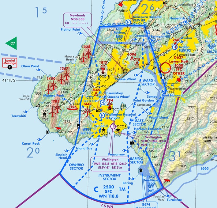
Many professional drone pilots will be familiar with the use of Visual Navigation Charts (or VNCs) for determining the location of airspace and other aviation hazards.
In fact, VNCs are still the only approved primary reference for New Zealand airspace and all drone pilots should be familiar with their use.
VNCs contain a lot of information relevant to the drone pilot that isn’t shown on other resources such as Airshare.
VNCs are revised each year in November and this year there are some significant changes. These changes include new chart dimensions, revised chart symbols and a new reduced clutter format.
For more information check out the latest Spring 2020 edition of the CAAs Vector Magazine: https://www.aviation.govt.nz/safety/publications/vector-magazine/.
If you would like to learn more about how to interpret VNCs and other important aviation resources check out our Professional RPAS Pilot Certificate Course at https://dronetrust.com/training/.

